The East Munster Way
Vue d'ensemble
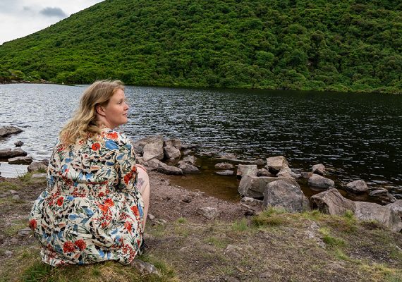
The East Munster Way is a 70km linear walking route across riverside paths, woodland, open mountain moorland and quiet country roads. It is part of the European E8 route. Starting in the town of Carrick-on-Suir, the route follows the River Suir upstream, which is overlooked by old castles and churches and home to otters and herons. At the pretty village of Kilsheelan, the walk ascends into the foothills of the Comeragh Mountains before descending again to follow the Suir into the vibrant county town of Clonmel.
The route then crosses a western outlier of the Comeraghs to reach the northern flanks of the Knockmealdown Mountains. It then meanders westwards with spectacular views before descending to reach the town of Clogheen. Moderate grade. Estimated time for the walk is three days.


