Take a Hike
Overview
Walking Tipperary with John G O’Dwyer
It is sometimes said that all the best features of the Irish landscape are found in County Tipperary, except for a coastline, although some would argue the shores of Lough Derg fulfil this requirement. Tipperary is certainly a county for startling and abrupt changes of outlook within a hugely varied landscape. High mountains give way with startling suddenness to meandering river valleys, while woodlands march easily downhill to shake hands with expansive bogs. These rich ecosystems then segue seamlessly into great fertile plains such as the Golden Vale, the Suir Valley and the Central Plain of Ireland.
The Tipperary lowlands are further divided by a series of small but individualistic hills: Slieveardagh, Slievenamon, Slievenamuck and the Devil’s Bit. Each one has, in some special way, become part of local consciousness with its own unique story to tell of times past. This is one reason why I never tire of exploring my native county.
I love a languid afternoon on the Suir Blueway with time to absorb its rich mosaic of waterside habitats. There is something especially soothing about this waterway that soon has time drifting indolently by. A clear evening will be required for a ramble up Tountinna Mountain from the Graves of the Leinstermen. Expansive views over 7 counties are my reward, and later a golden sunset beyond the watery expanse of the River Shannon directly below.
At other times I will join friends for a hike among the lake-strewn valleys of the Galtee Mountains or perhaps a sociable Friday evening circuiting the lovely Grange Loop of the Slieveardagh Hills. Many echoes of history resonate from the rounded tops and quiet valleys of the Slievefelin Hills, while the Knocknealdowns Mountains exert a magnetic draw. This fine range offers accessible summits with good under foot conditions and many echoes from the Irish Decade of Revolution, a century ago.
There can be no doubt: Tipperary offers memorable walking to suit all tastes.
Tipperary Interactive Hiking Map
Please find below our interactive map. The map outlines each of the trails in the county and if you click on the trail you wish to do you will be given the name of the trail, the distance and duration it takes to complete it together with a brief description of the trail too.
The links provided on the pop up screens will bring you Sports Ireland for in-depth information and google map, to the trails head.
Tipperary Activities Map
Supported by the Department of Rural and Community Development's Outdoor Recreation Infrastructure Scheme.

The Lough Derg Way
The Lough Derg Way is a 68km (42 miles) trail that begins in Limerick City and ends in Dromineer, County Tipperary. It is typically completed in three days although you can break it up and complete smaller sections. As you hike you’ll encounter mesmeric views over the tranquil waters of Lough Derg to the shimmering Clare Hills beyond its shores.

The Beech Trail
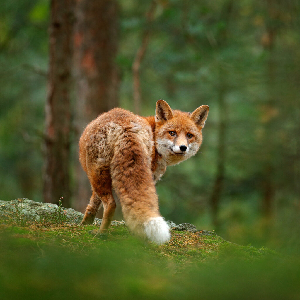
This 2.5km hike is nestled amid the Knocknacree Woods, which covers 41 hectares of land. Walkers will encounter a wide array of wildlife as they hike, from sparrowhawks and red squirrels to foxes and badgers. It is particularly beautiful in springtime as bluebells and wild garlic blossom in abundance.
Glengarra - Millennium Trail
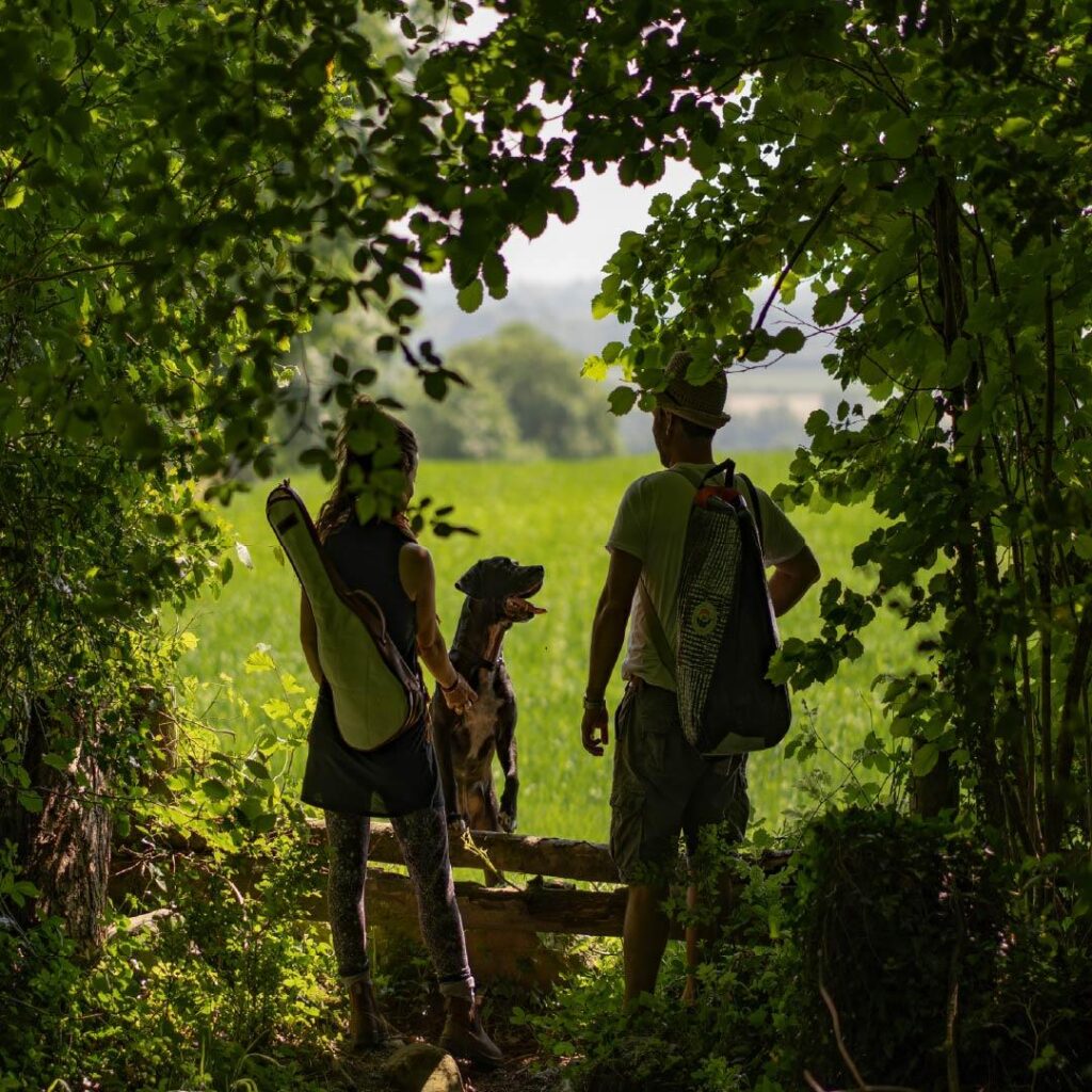
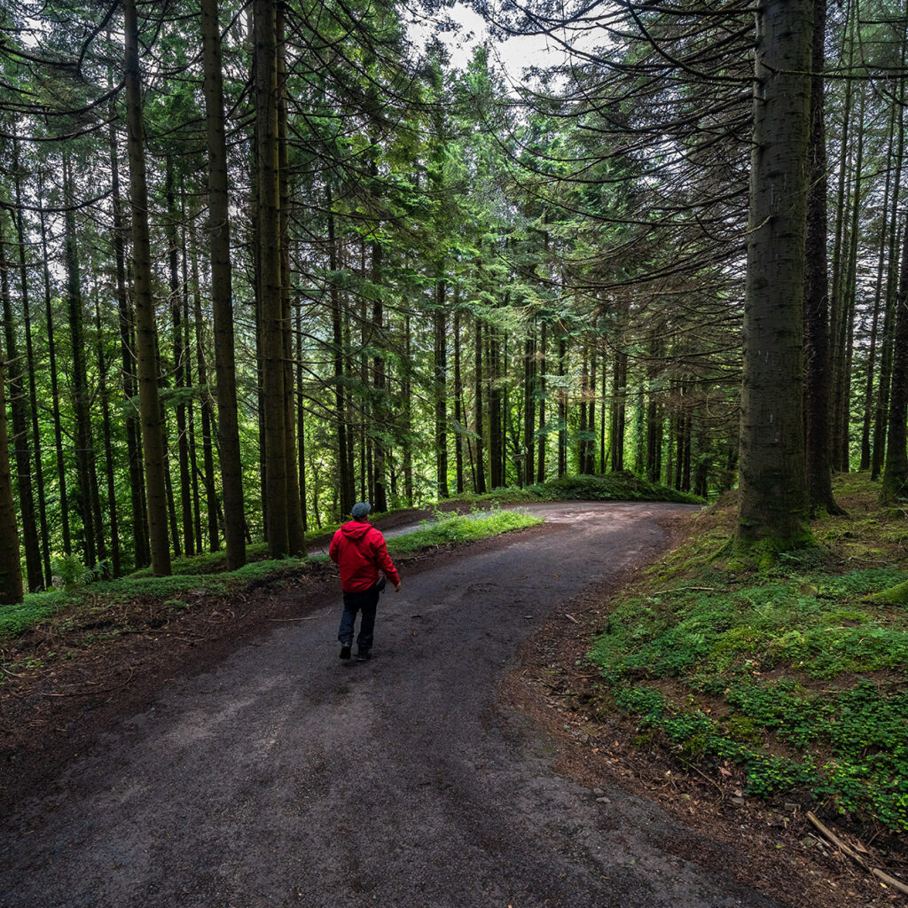
Glengara is a real treat for anyone who likes to be surrounded by nature. This former demesne woodland has many exotic tree and shrub species that will make any visit to these woods a memorable one. The Millennium Trail (7 km, 2.5 hours, moderate) is particularly beautiful and has plenty of interesting features, such as old forest tracks, an enclosed exotic rhododendron canopy, the Mountain Lodge, Galty views and the Burncourt River.
The Slieve Felim Way
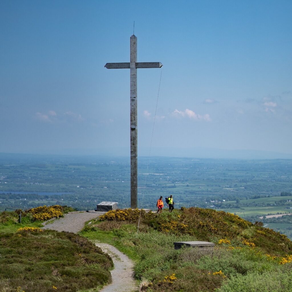
The Slieve Felim Way is a 43km linear walking route that brings you right to the heart of Tipperary’s beautiful countryside.
The charming trail from Toor to Silvermines gives walkers a series of stunning views from a number of different mountains along the route. Taking two days to complete, the terrain consists of quiet roads, forestry tracks and field paths.
The Graves of the Leinstermen
According to tradition, the Graves of the Leinstermen is where the men of Leinster and their King met their deaths at the hands of High King Brian Boru’s soldiers. This looped walk follows minor roads and laneways to ascend Tountinna where breathtaking views of Lough Derg await. Starting at the Graves of Leinstermen and moving on minor roads through pleasant countryside, it then leaves the road before turning into the Arra Mountains. Then the loop descends steeply back to the trailhead. The long distance linear walk known as the Lough Derg Way takes in part of this loop.
Eamonn an Chnoic Loop
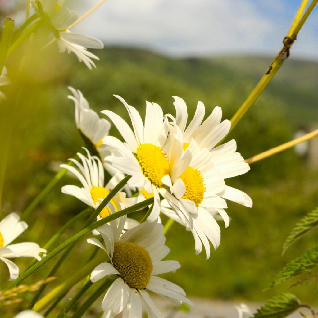
The Eamonn an Chnoic Loop begins in the pretty village of Upperchurch. The 8km walk explores a scenic smorgasbord of ladder stiles, freshly mown hayfields and gorse hedges before gaining height above the village. At its summit you’ll see views of the Comeraghs and Knockmealdowns over the Waterford border in the south east and the blue peaks of the Galtees to the south.
This loop takes its name from a Robin Hood figure who roamed the hills of West Tipperary in the 17/18th century. Forced to go on the run, Eamonn a Chnoic (Ned of the Hill) became one of a band of highwaymen who championed the cause of the poor and harassed English planters.
Kilcommon Pilgrim Loop
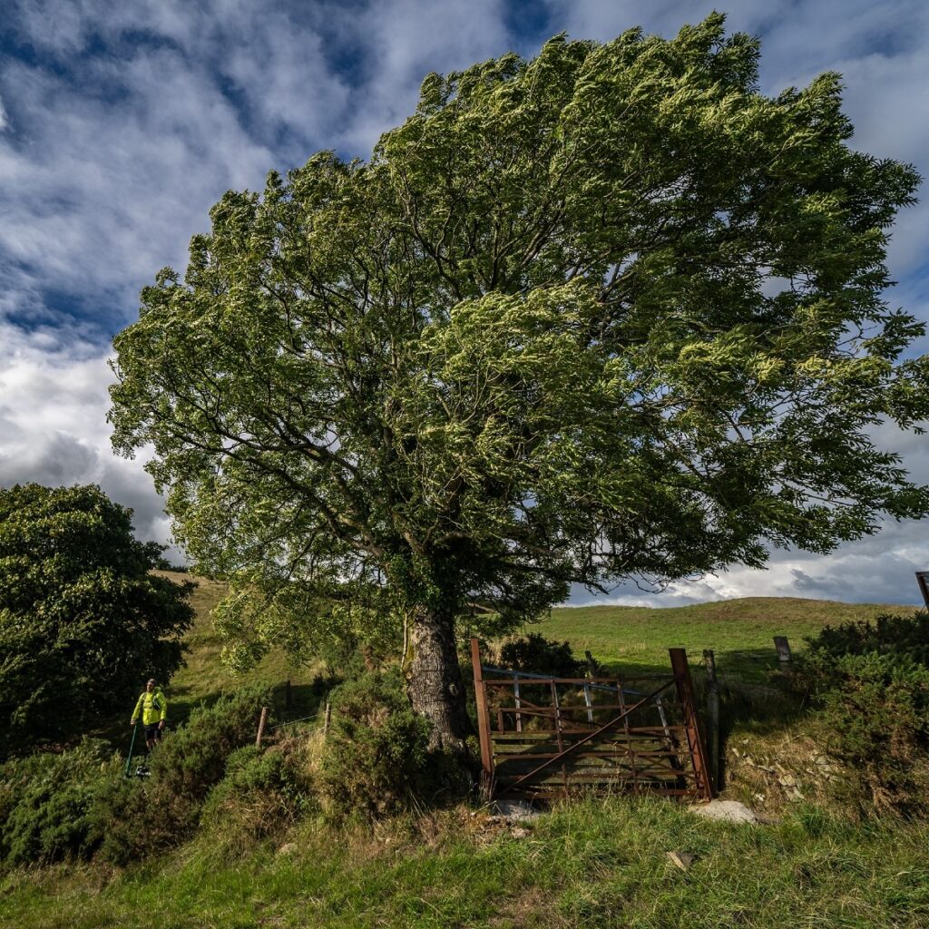
Starting in Kilcommon village, the 7km Kilcommon Pilgrim Loop brings you along the old mass path over the Bilboa River and on to the lower slopes of Mauherslieve Mountain, where it loops back to Kilcommon.
Along the way, you’ll cover minor roadways, forestry roads and cross country trails and the views over the Tipperary and Limerick countryside are majestic.
This walk takes about 2–2.5 hours to complete and is of moderate difficulty.
The Inch Loop
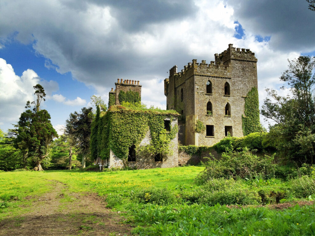
The 5km Inch Loop walk takes you along pleasant country roads, riverbanks, farmland pathways and woodlands. Walkers will traverse the historical heartlands of Monroe, Inch and Maghereagh. Along the route there are no fewer than five church sites, the earliest of which dates to the 6th century, as well as a fine example of an Anglo Norman Motte beside the ruins of Inch Church. The surrounding area is full of wildlife, particularly along the Cromogue River and around the Toberfelim woodlands. The trail goes by Inch House and returns via the old chapel walk to Monroe Church.
Glen of Aherlow’s Ballinacourty Loop
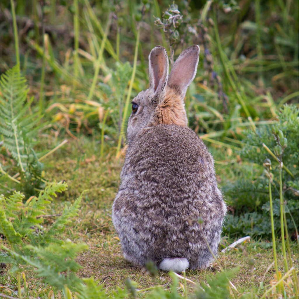
Follow the purple arrows from Christ the King Statue in the Glen of Aherlow and take in amazing views of the Galtee Mountains. This 10km looped walk consists mainly of woodland trails and forestry tracks, traversing the southern shoulder of Slievenamuck Mountain. Revel in the freedom of the great outdoors; an adventure the whole family can relish. Or you could bring your own picnic and enjoy the marvellous sights along the trail.
